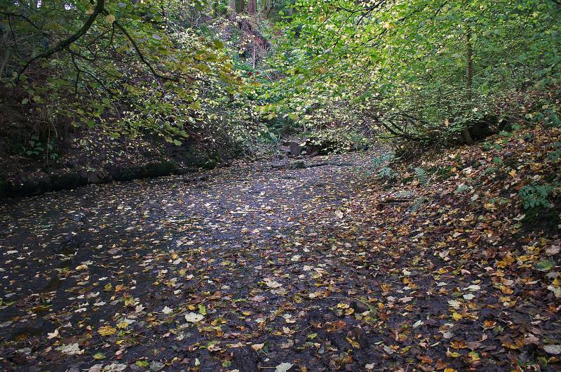
Under Combe Scar.
Start. Dent.
Route. Dent - Flinter Gill - Occupation Road (Green Lane) - Barbondale Road - Stone Rigg - Combe House - Tofts - River Dee - Barth Bridge - Dent.
Notes. Today was a valley and a half way up the hill walk, no summits just outstanding views over the finest valley in the Dales, a typical Autumn morning, a cold north wind blowing the morning drizzle away, to be replaced with sunshine and scudding cloud.
My morning started in the sleepy cobbled streets of Dent en route to Flinter Gill (not named on the map but sign posted from the village green), the ascent took me pass Dancing Stones, a Wishing Tree, restored Lime Kiln and quarry, there's also a view indicator just off the path to the right visible as I clear the trees, on reaching the top of the gill I turned right onto a green lane known locally as The Occupation Road. This old drove road guided me to the Dentdale Road where I again turned right, a hundred yards to the northeast a finger post invited me to Underwood, I obliged descending pass Combe House and Tofts before leaving the farm lane to descend through fields passing a ruined farmstead before reaching a tarmac lane.
Between high hedgerow with tarmac under foot I made my way north ignoring the lane to Dillicar Farm, just around the corner I was able to gain access to the Dales Way, the finger post told me I was heading to Barth Bridge, striding out along the banks of the River Dee I soon reached the said bridge. I crossed the tarmac lane to enter more fields, the next time I had tarmac under foot I was wandering into the sleepy backwater of Dent, not so sleepy on a sunny Sunday afternoon.

At the foot of Flinter Gill, The Dancing Stones, so named because the weavers of Dent would soak their webs of cloth in the gill, lay them on the stones and dance on them, this fluffed up the cloth to increase insulation it was known as Felting.
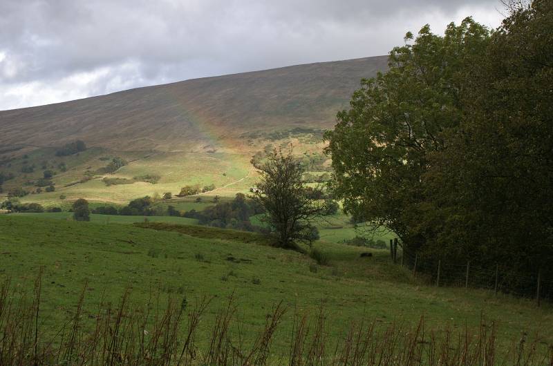
Looking to the slopes of Aye Gill Pike as the last of the morning showers pass over.
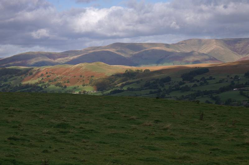
Sunlight on Helms Knott backed by the rolling summits of the Howgill Fells.
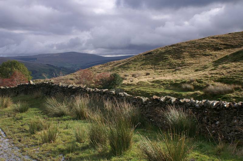
Nearing the head of Flinter Gill looking to Great Knoutberry Hill.
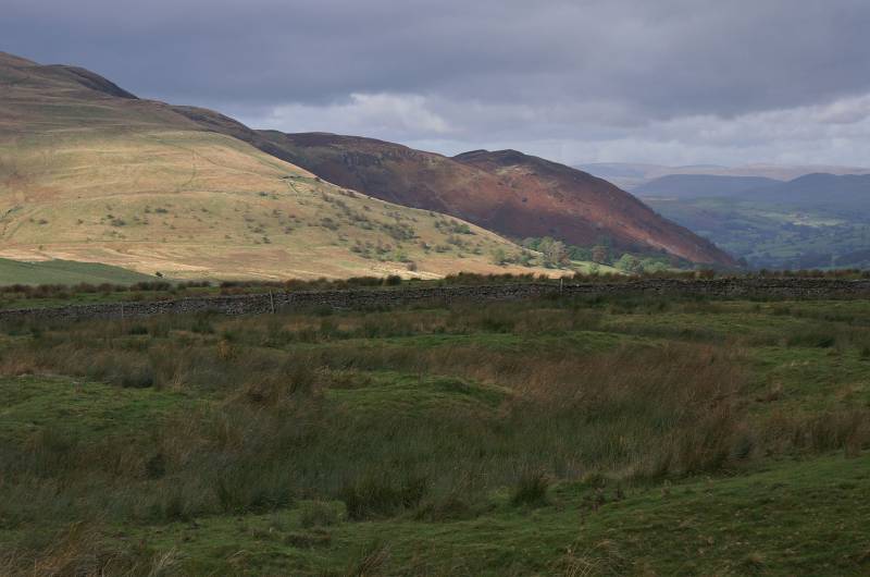
As seen across the head of Barbondale, Combe Scar.
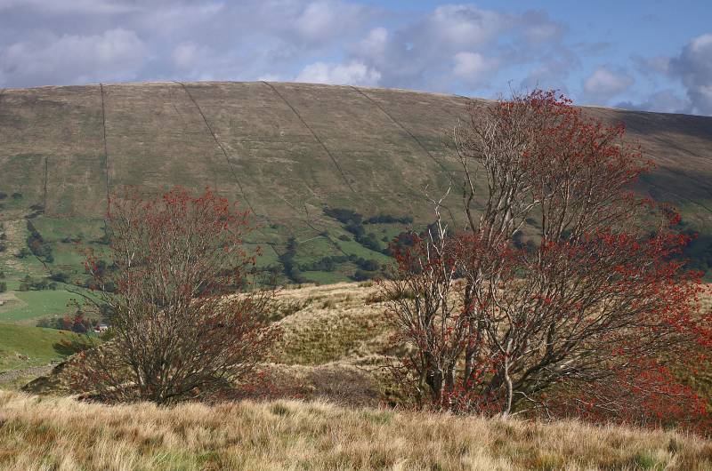
Aye Gill Pike above Dentdale.
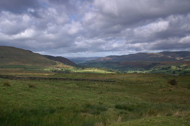
Stunning views to the north.
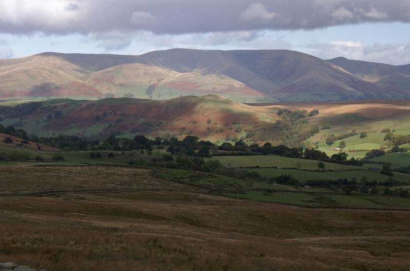
As seen from between the dry stone walls of the Occupation Road the shadowed ridges of the Howgill Fells.
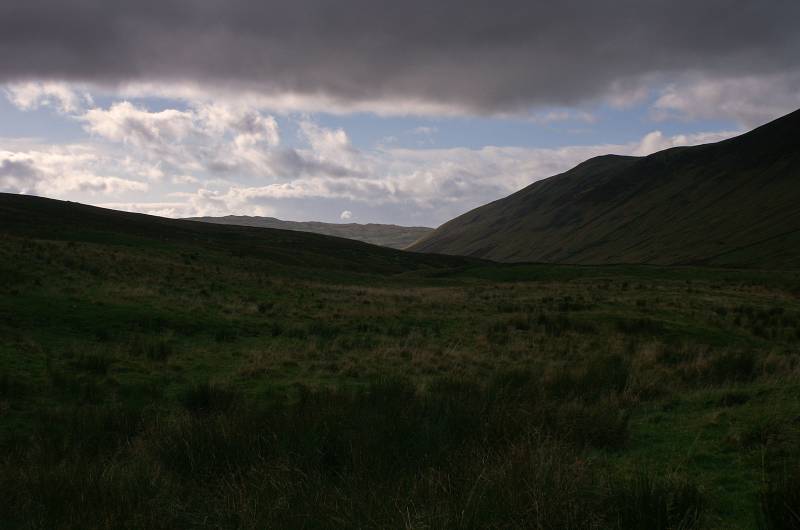
Moody skies over Barbondale.
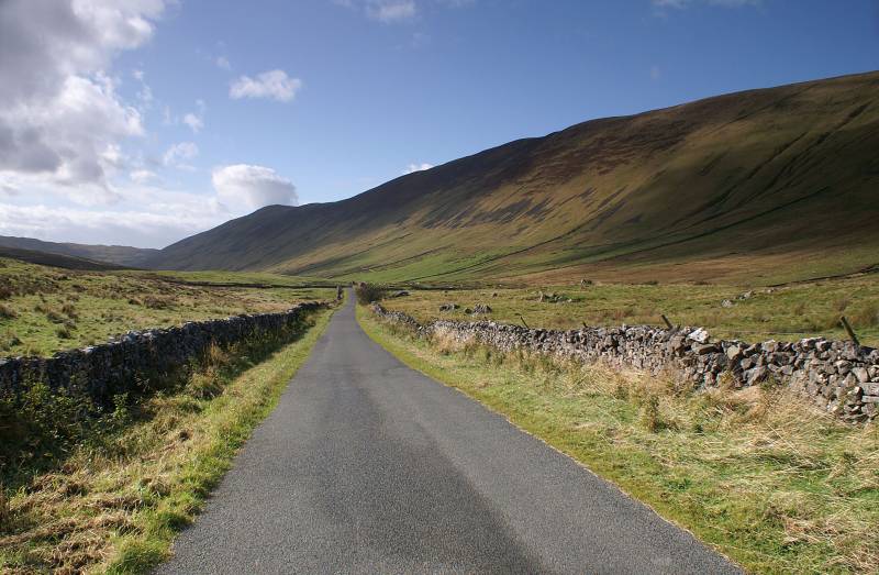
A wonderful view down Barbondale.
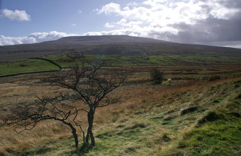
Passing below Combe Top with a striking view to Crag Hill.
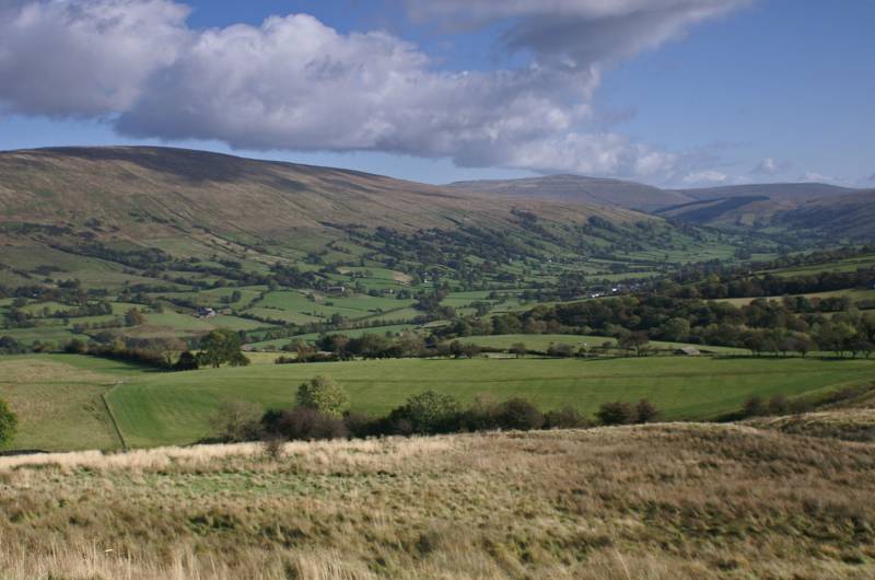
A few paces further along the path presents me with a breath-taking view to the head of Dentdale.
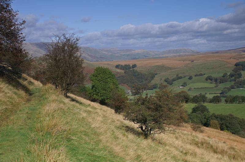
This relatively low level path certainly provides a fine view point, here we have the eastern Howgills
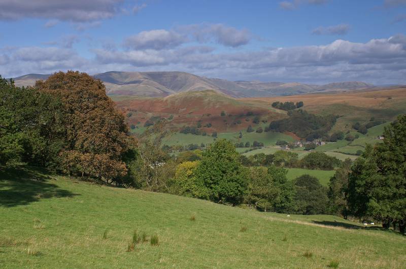
Viewing The Calf over Helms Knott.
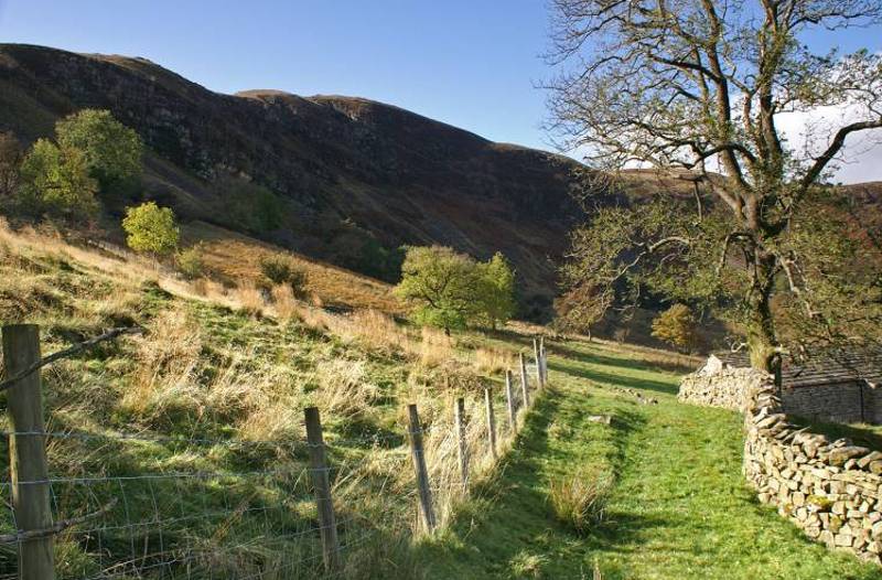
Approaching Combe Scar.
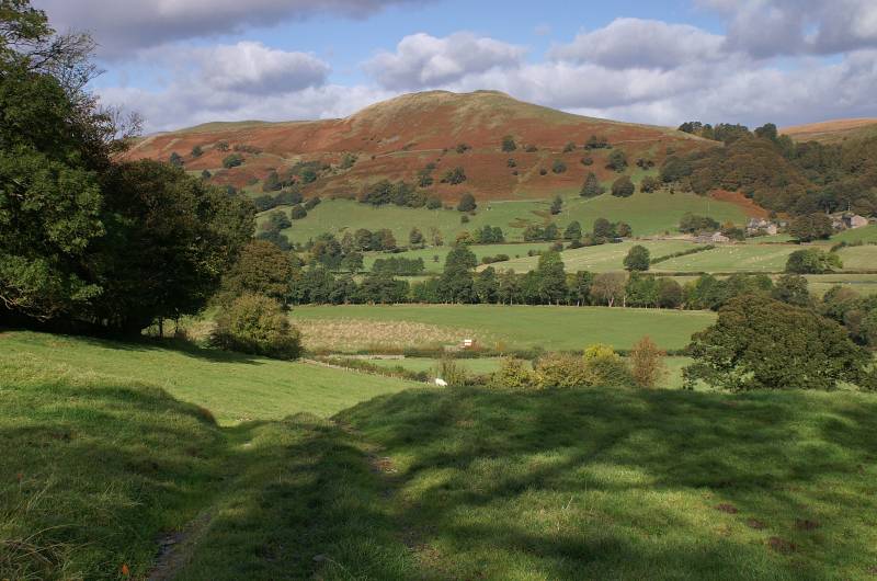
Descending pastures below Tofts looking to Helms Knott.
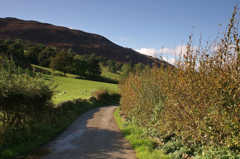
The shadowed face of Combe Scar seen from the tarmac lane near Dillicar Farm.
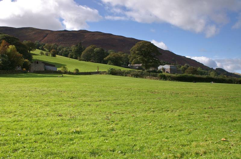
Seen from the banks of the River Dee Combe Scar, the rather unsightly building to the right is Dillicar.
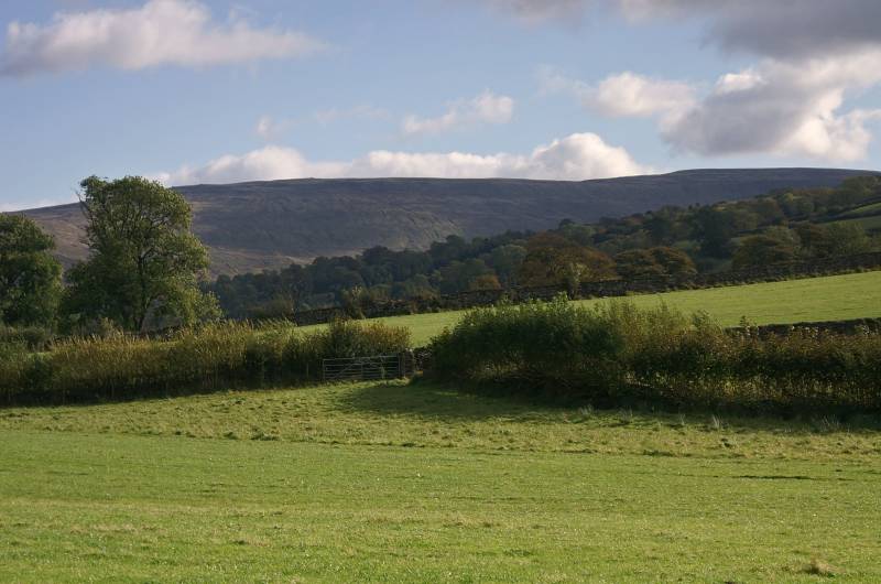
Whernside the highest peak in Yorkshire Dales seen from near Barth Bridge.
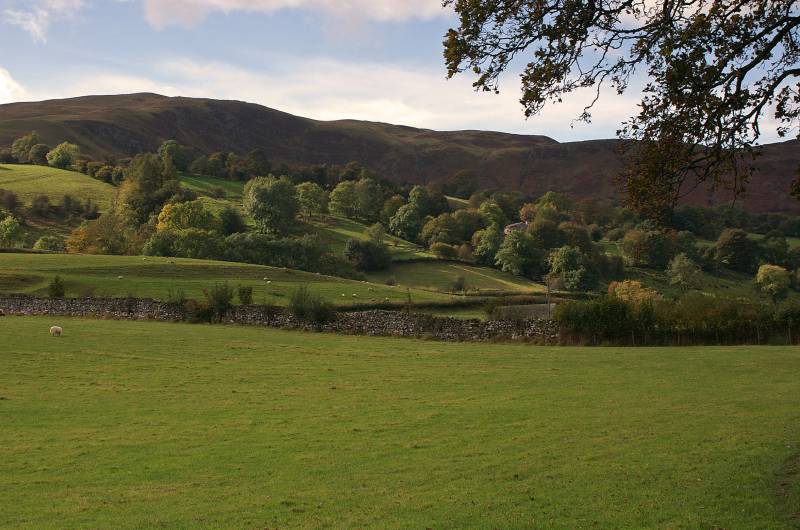
A look back to Combe Scar.
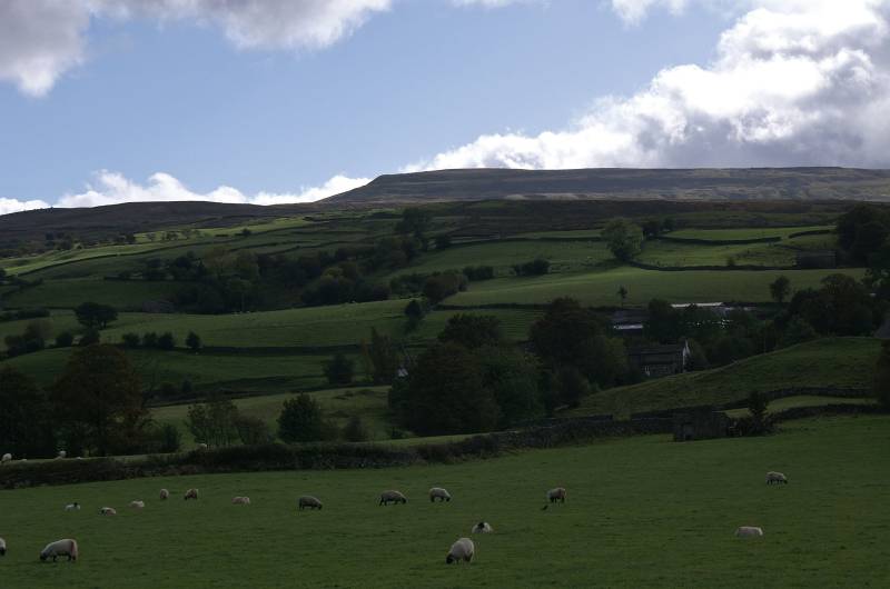
Crag Hill from the banks of the River Dee.
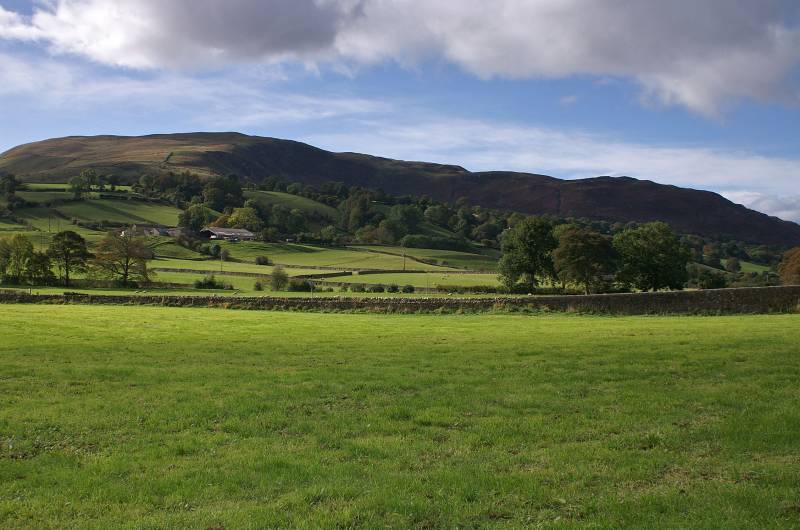
A final look back to Combe Scar.
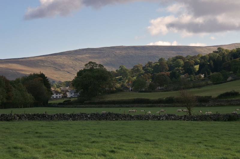
Looming above Dent village, Whernside.
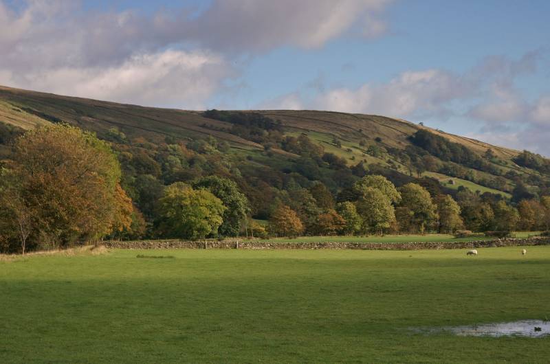
Looking to Rise Hill the eastern summit of Ayr Gill Pike.
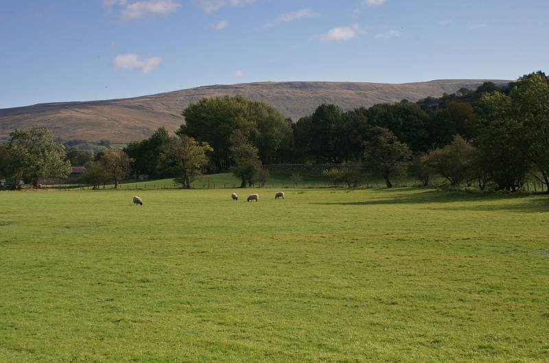
Nearing journeys end with a final look to Whernside.
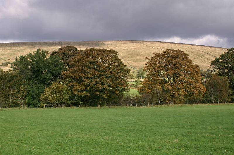
Ayr Gill Pike seen from near the car park in Dent.